


29.01.2024
Overview of hydrological situation of January, 25 2024
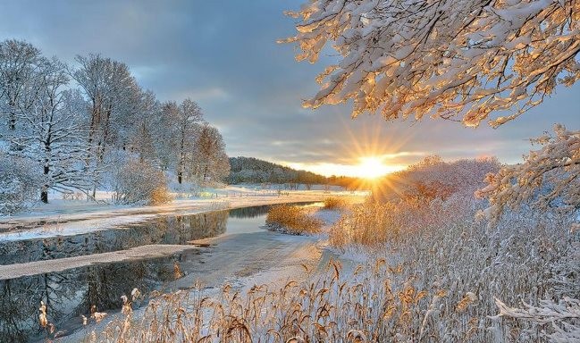
As of January 25, glaciation and glaciation with polynyas from 8 cm to 27 cm thick are everywhere observed on the rivers of the country. The reservoirs Chigirinskoye, Zaslavskoye, Vileyskoye, Soligorskoye, Krasnaya Sloboda, lakes Naroch, Lukomskoye, Drivyaty and Chervonoye have a continuous ice sheet 20-28 cm thick. Precipitation in the form of rain and sleet caused the appearance of water on the ice, the structure of the ice became heterogeneous, it is dangerous to go out on the ice.
Fluctuations in water levels with intensity are noted on rivers 1-16 cm per day. On most rivers water levels exceed the water outlet marks on the floodplain.
On the Pripyat tributary, the Ptich River near the village of Pershaya Slobodka the water level exceeds a dangerously high mark, and on the Neman tributary, the Shchara River near Slonim, the water level is close to a dangerously high mark, 7 cm remains before it is reached, there is an increase in the water level with an intensity of 4 cm per day.
According to the Ministry of Emergency Situations, flooding of bridges and sections of highways is noted in some areas of the Gomel and Mogilev regions.
In the coming days, fluctuations in water levels will be observed on the rivers with a tendency to increase, on the Neman tributary of the Shchara River near Slonim, the water level will exceed a dangerously high mark. No significant changes are expected in the ice conditions.

When using the information reference to Belhydromet is obligatory
 Official heraldic symbols of the Republic of belarus
 Internet portal of the President of the Republic of Belarus
 National legal Internet portal of the Republic of Belarus
 Ministry of natural resources and environmental protection of the Republic of Belarus