

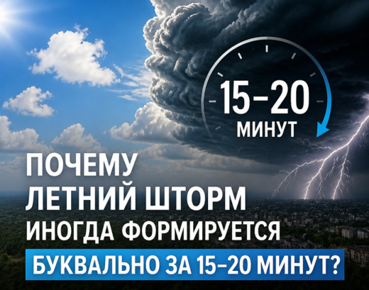
The secret behind the lightning-fast formation of a summer convective storm lies in extreme atmospheric instability.
In summer, the surface in Belarus rapidly warms up to +25 +30°C. The air near the ground becomes hot and light, creating tremendous buoyancy.
The heated air begins to rise rapidly at a speed of 5-10 m/s (sometimes up to 30 m/s). Encountering colder air at higher altitudes, it quickly cools and condenses (water vapor turns into water droplets), and the formation of cumulonimbus clouds begins. This condensation releases latent heat, which further warms the air from below. A positive feedback loop is created: the higher it rises, the faster it expands and draws in new portions of moisture.
Within 15-20 minutes, the heated air manages to race from the ground to the stratosphere (over 11 km). As soon as it reaches the upper boundary, the air flow can no longer rise further, spreads out to the sides, and the "anvil" of the convective cloud forms. The peak of its intensity occurs precisely at this moment.
Such cells are so small (5-15 km wide) that numerical models cannot detect them. Meteorologists can easily forecast that there is a high probability of powerful cumulonimbus cloud development and, consequently, the formation of associated adverse and hazardous hydrometeorological phenomena (thunderstorms, squalls, heavy downpours, hail), but the exact time and location of their formation are determined using weather radar in real time – 20-40 minutes in advance.
When using the information a reference to Belhydromet is obligatory
© Belhydromet, 2016-2026