

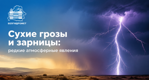
A dry thunderstorm is a thunderstorm with thunder and lightning but observed without precipitation or with very little rainfall. This is the main difference between "dry" thunderstorms and ordinary ones. In fact, precipitation does occur during a dry thunderstorm, but it does not always reach the ground surface. Such thunderstorms are typically observed during the hot season, when temperatures are high and relative air humidity is low. The falling precipitation evaporates completely or partially in the hot and dry air before reaching the ground. This phenomenon is called "virga," and colloquially it may be referred to as "phantom rain" or "precipitation trails," which appear as grey streaks hanging beneath the cloud base.
In August, as well as in other dry and hot summer months (and also, depending on prevailing weather conditions, in late spring and early autumn), such thunderstorms most often occur against the backdrop of severe drought and extreme heat, creating a high risk of natural fires due to lightning strikes igniting dry vegetation. The most common areas where dry thunderstorms may occur are arid regions of steppes, deserts, and mountainous areas. However, in recent years, they have also been observed in places where they were previously rare, especially during periods of extreme heat anomalies or after prolonged anticyclones.
A dry thunderstorm is, in some ways, even more dangerous than a frontal or air-mass thunderstorm, because lightning under such conditions often causes large fires, and the strong winds accompanying the thunderstorm contribute to the rapid, uncontrolled spread of fire.
There is no specific statistics on the number of dry thunderstorms, but due to global warming, the annual number of dry thunderstorms is increasing. According to scientists, an increase in the average annual air temperature by just 1°C raises the number of "phantom rains" by more than 10%.
Several factors must coincide for a dry thunderstorm to occur:
1) "mature" cumulonimbus clouds at an altitude of 2,500 to 3,000 meters above sea level, which is not entirely typical for the latitudes of Belarus;
2) air temperatures above 30°C, when the air is so hot that raindrops simply do not reach the ground, evaporating in the atmosphere;
3) low relative air humidity (below 30-40%).
Thus, in Belarus, under conditions of prolonged hot weather, a dry thunderstorm is possible, but more often the formation of the bases of powerful cumulonimbus clouds, which are associated with thunderstorm activity, occurs at altitudes of up to 1,500 meters, and as a result, the precipitation still manages to reach the ground. However, precipitation may fall from one side of the cloud, away from the lightning discharges, giving the impression that the thunderstorm is "dry."
Heat lightning is a flash of light on the horizon caused by lightning from a distant thunderstorm. In this case, thunder is usually not heard due to the distance, but lightning flashes are visible, with their light reflecting off cumulonimbus clouds.
In temperate latitudes, this phenomenon is caused by the reflection of lightning flashes from cloud masses. Heat lightning can last for several hours in a row, attracting attention with its high frequency and spectacular appearance.
The difference between the visible and audible effects is enormous: while thunderclaps fade out at a distance of 15-20 km from the epicenter, the reflections of the lightning itself in the night sky can be detected at distances of up to 160 km.
Heat lightning is most often observed in warm, unstable tropical air masses, as well as in warm frontal zones during the evening or nighttime hours in the warm season. In late summer, in August, nights become noticeably longer and darker, making nighttime heat lightning more visible.
When using the information a reference to Belhydromet is obligatory
© Belhydromet, 2016-2026